LOCATION & GEOGRAPHY
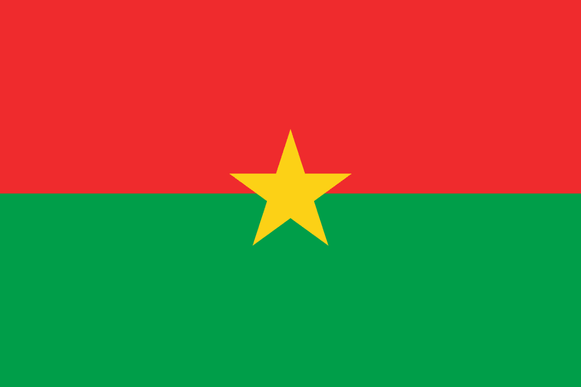
Burkina Faso, formerly Upper Volta, is a Landlocked West African State which lies between the Sahara Desert and the Gulf of Guinea in the loop of the river Niger. It has borders with Niger in the East and North; Mali in the North and West; Benin in the South and East and Côte d’Ivoire, Ghana and Togo in the South. The country ’ s rivers are not navigable and flow South towards the Gulf of Guinea. Several small streams in the East drain into the river Niger. The terrain is almost flat. Primary sandstone covers the South-western border with Mali. There is minimum annual rainfall and the water percolates deeply within the rocky expanses. Meadows and pastures make up about one-third of the land while one quarter is taken up by forests and woods. The climate is tropical, generally hot and dry with generous sunlight. Early summer rains break the extreme heat, but high winds bearing clouds of dust come just before the rainfalls.

Burkina Faso

Language
French

Currency
West African CFA Franc (XOF)

GDP
15.746 Billion USD (2019)

Exports (Product)
$5.99B (2019)

Exports (Service)
$555M (2018)

Imports (Product)
$3.92B (2019)

Chambers Names
Burkina Faso Chamber of Commerce, Industry

Capital
Ouagadougou

Total Area
274,200 km2

Imports (Service)
$1.42B (2018)

Population in thousands
20,321

Source of Data
OEC – World Bank – Wikipedia


