LOCATION & GEOGRAPHY
Indonesia is the fourth most populous country in the world. It is made up of more than 3000 islands situated in the area where the Pacific and Indian Oceans meet. Its unique border is in the islands of Borneo with Malaysia in the North and Papua New Guinea in the East. The main islands in terms of population density and significance of economic activity are Java, Sumatra, Bali, Kalimantan (Borneo), Sulawesi (Celebes), Irian Jaya, and the Moluccas. The country is predominantly mountainous with around 400 volcanoes of which a hundred are still active. The terrain is mostly coastal lowland with mountains on the larger islands. The climate is tropical on the coastal line and more moderate in the higher land which is described as maritime equatorial. There are heavy rainfalls. The tropical climate and rich soil support abundant flora and fauna.
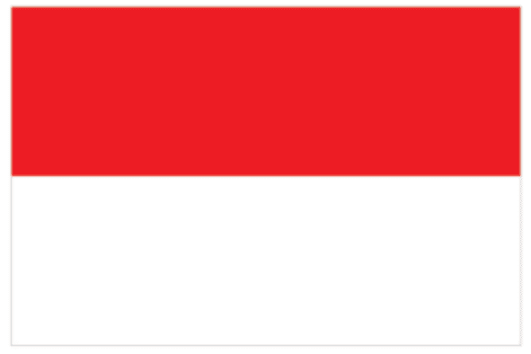
The Republic of Indonesia

Language
Bahasa

Currency
Rupiah

GDP
1371171152331.16 US$ (2023)

GDP per capita
4876.31432703188 US$ (2023)

Exports of goods and services
298182855809.878 US$ (2023)

Imports of goods and services
268325648223.764 US$ (2023)

Chambers Names
Indonesian Chamber of Commerce & Industry

Capital
Jakarta

Surface area (sq. km)
1916906.77

Population, total
281190067 (2023)

Source of Data
World Bank – Bank Indonesia – Portal Informasi Indonesia


