LOCATION & GEOGRAPHY
Côte d’Ivoire is located on the coast of West Africa. It is bounded by Liberia and Guinea on the South-west, by Mali and Burkina Faso on the North, by Ghana on the East, and by the Atlantic Ocean on the South. Lying close to the Equator, Côte d’Ivoire is tropical both in surface features and climate. The Northern half of the country consists of high savannah. Most of the Western border is shaped by mountain ranges culminating in Mount Nimba. It has four natural regions; the coastal fringe, the equatorial forest zone, the cultivated forest, and the Northern savannah and four main rivers; Comoe, Bandaman, Sassandra and Cavally. The middle of the country has suffered deforestation in favour of coffee and cocoa plants. Côte d’Ivoire is a transitional zone between the moist equatorial climate and the dry tropical climate.
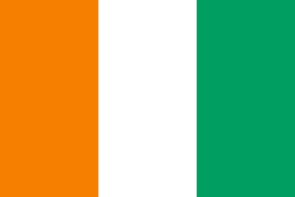
The Republic of Côte d’Ivoire

Language
French

Currency
CFA franc (XOF)
GDP
78875489245.0538 US$ (2023)

GDP per capita
2530.84659301723 US$ (2023)

Exports of goods and services
19340237826.0703 US$ (2023)

Imports of goods and services
22127698957.9517 US$ (2023)

Chambers Names
Chamber of Commerce and Industry of Côte d’Ivoire

Capital
Yamoussoukro
Surface area (sq. km)
322460
Population, total
31165654 (2023)

Source of Data
World Bank – Presidency of the Republic of Côte d’Ivoire


