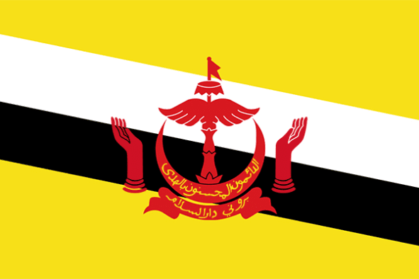
LOCATION & GEOGRAPHY
Brunei Darussalam is located on the North-west of the island of Borneo, facing the South China Sea, and is bordered by Malaysia with the exception of the northern coastline. Brunei Darussalam has an exclusive fishing zone of 200 nautical miles in its territorial sea of 12 nautical miles. The majority of the country (about three-quarters) is covered with tropical rainforests. Brunei Darussalam’s terrain is made up of a flat coastal plain rising to the mountains in the East. A hilly lowland lies to the West. Brunei Darussalam has a very small area of arable land and few permanent crops, meadows and pastures. The climate is equatorial and characterised by high temperature, high humidity and heavy rainfall. There is no distinct wet season

THE REPUBLIC OF Brunei

Language
Malay

Currency
Brunei dollar (BND)

GDP
13.469 Billion USD (2019)

Exports (Product)
$7B (2019)

Exports (Service)
$528M (2016)

Chamber's Website

Imports (Product)
$5.04B (2019)

Chamber Name
Chamber of Commerce and Industry of Brunei Dar-us-Salaam

Capital
Bandar Seri Begawan

Total Area
5,765 km2

Imports (Service)
$1.46B (2016)

Population in thousands
433

Source of Data
OEC – World Bank – Wikipedia


