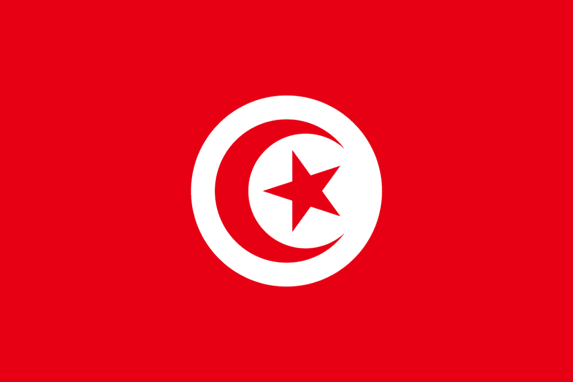
Tunisia
LOCATION & GEOGRAPHY
Tunisia lies at the Northernmost tip of Africa. It is bordered by Algeria in the West and Libya in the South-east. Northern Tunisia, which is the most heavily populated part of the country, is a mountainous area relatively more fertile. The major river of Tunisia, the Majardah, is also located in the North. The central section of the country is a semiarid highland. More in the South, the landscape becomes arid and barren, except for occasional oases, as it merges with the Sahara. The humid coastal plain in the East runs between the Gulfs of Hammamet and Gabes. Meadows and pastures take up about one fifth of the land while there are a few forests and woodlands. Tunisia’s climate is temperate with mild winters and hot summers.

The Republic of Tunisia

Language
Arabic

Currency
Tunisian dinar (TND)

GDP
48529595416.6533 US$ (2023)

GDP per capita
3977.69516639644 US$ (2023)

Exports of goods and services
25178795584.0227 US$ (2023)

Imports of goods and services
26834143358.3315 US$ (2023)

Chambers Names
Tunisian Union of Industry Commerce & Handicraft

Capital
Tunis

Surface area (sq. km)
163610

Population, total
12200431 (2023)

Source of Data
World Bank – Embassy of Portugal in Tunisia


