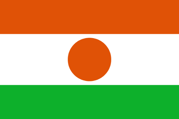
Niger
LOCATION & GEOGRAPHY
Niger is located in the heart of the Sahel, the transitional zone between the tropical West African coast and the Sahara Desert and is bordered by Algeria and Libya in the North, Chad in the East, Nigeria and Benin in the South, Burkina Faso in the South-west, and Mali in the West. Northern Niger is part of the Sahara, with vast expanses of rocky and sandy wilderness broken by occasional oases. Its climate varies with distinct seasons and is generally very hot. During autumn, a hot, dry wind carries dust from the Sahara. The terrain consists of desert plains, dunes and flat to rolling plains in the South and hills in the North.

THE REPUBLIC OF Niger

Language
French

Currency
West African CFA franc (XOF)

GDP
12.928 Billion USD (2019)

Exports (Product)
$852M (2019)

Exports (Service)
$115M (2013)

Imports (Product)
$1.55B (2019)

Chambers Names
Niger Chamber of Commerce and Industry

Capital
Niamey

Total Area
1,267,000 km2

Imports (Service)
$959M (2013)


